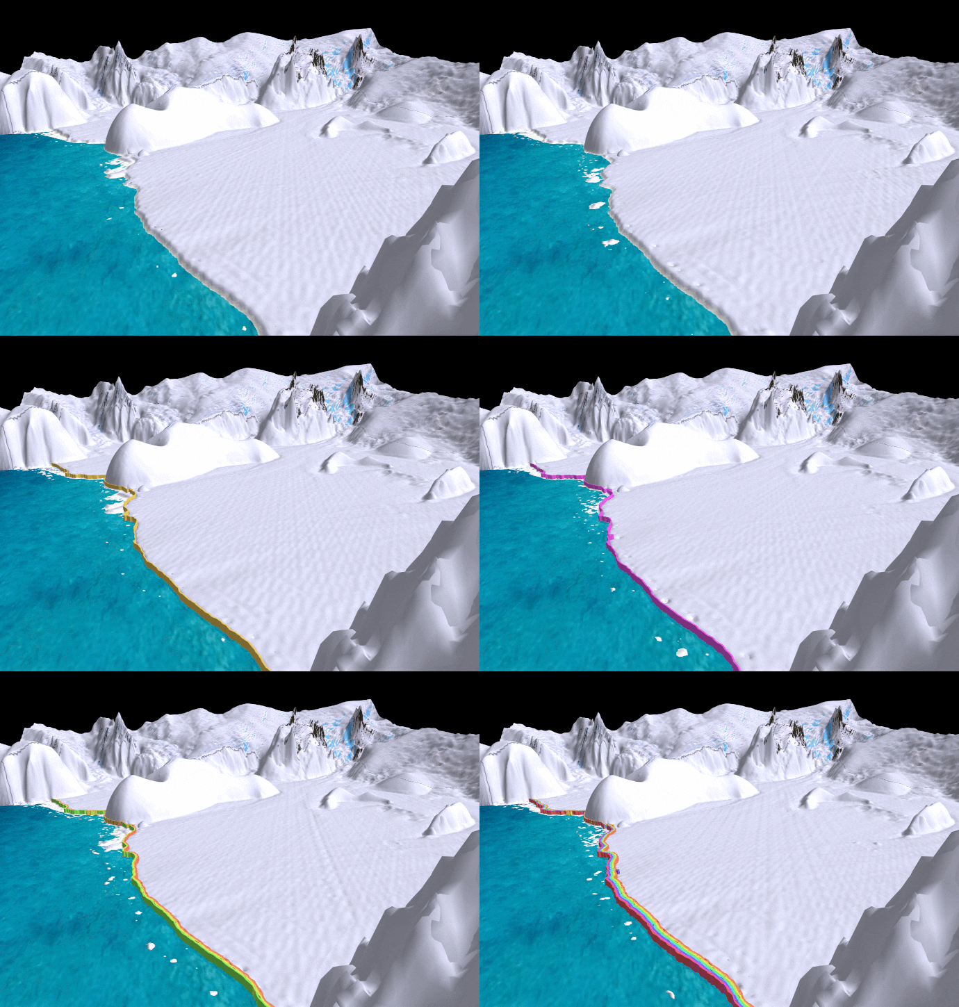
It is now almost 10 years since ESA’s CryoSat was launched. Throughout its decade in orbit, this novel satellite, which carries a radar altimeter to measure changes in the height of the world’s ice, has returned a wealth of information about how ice sheets, sea ice and glaciers are responding to climate change. One of the most recent findings from this extraordinary mission shows how it can be used to map changes in the seaward edges of Antarctic ice shelves.
Comments are closed.