2 min read
You Are Now Arriving at ‘Pico Turquino’

Earth planning date: Monday, Nov. 18, 2024
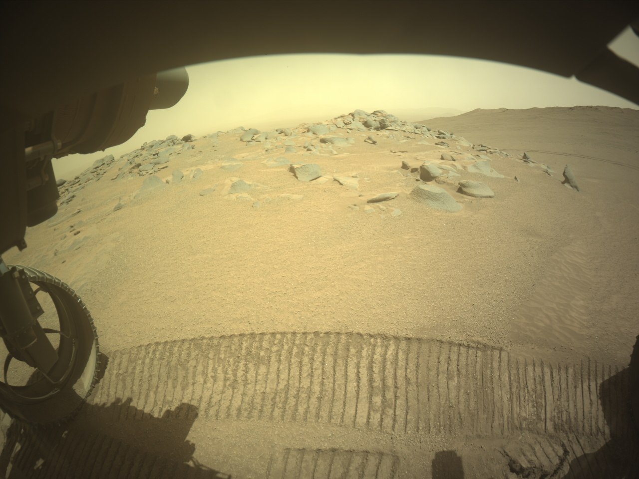
Perseverance has been continuing its sightseeing tour of the Jezero crater rim, with this week’s travel itinerary including an up-close look at “Pico Turquino.” Here, the team hopes to investigate the history recorded in this approximately 200-meter-long region (about 656 feet) of exposed outcrop. Such rocks may reveal clues of ancient geologic processes including those that predate or are related to the violent impact that formed Jezero crater. Recently, the team has been studying a number of outcropping ridges during the rover’s ascent of the crater rim, with the goal of characterizing the compositional diversity and structure of these exposed rocks.
After paralleling Pico Turquino about 70 meters (about 230 feet) to the south last week, the team planned a close approach over the weekend that positioned the rover at the southwestern extent of the ridge. Prior to the 107-meter drive (about 351 feet) on sol 1332, the team planned two sols of targeted remote sensing with Mastcam-Z and SuperCam to investigate local regolith and conduct long distance imaging of a steep scarp and 20-meter (about 66 feet) diameter crater to the northwest. The successful approach drive on sol 1332 allowed the team to come into Monday’s planning with the focus of assessing outcrop amenable for proximity science and repositioning the rover for upcoming abrasion activities.
Following our abrasion activities at Pico Turquino, the rover will be hitting the road en route to its next science stop at “Witch Hazel Hill .” Orbital views of Witch Hazel Hill suggest the area may contain layered and light-toned bedrock that likely record important information of the planet’s ancient climate. Prior to arriving at Witch Hazel Hill, the rover plans to pass through a high point known as Lookout Hill that will afford the team incredible views looking back into the crater, as well as get a glimpse westward of terrain far beyond Jezero.
Written by Bradley Garczynski, Postdoctoral Scientist at Western Washington University


Comments are closed.